Messages

Affichage des messages du septembre, 2021

Historical electric service in San José

Image
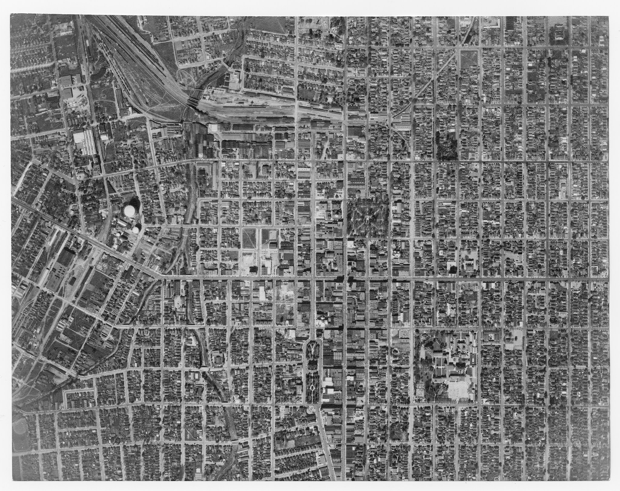
     On the internet there tend to be only a few good sources on the history of streetcar and interurban service in Santa Clara County. There are some good photos, a few maps, and a book "Tracks, Tires, and Wires" by Charles McCaleb. The book can be found at several libraries in the county library system. However, from the view of intimacy with the past, this is sometimes unsatisfying. There are few articles that people can easily reference, and while the old system gets brought up in dicussions from time to time , the actual knowledge of what the system was like and how it functioned is rather poorly communicated.     One of the main reasons for this is that electric service in Santa Clara County dissapeared a generation earlier than in larger cities like Oakland, as well as some local reasons. The combination looks something like the following: Far less footage and pictures were recorded of the system because the necessary equipment was much less accessible in...

Trolleybus systems in DPRK, sorted by length

Image
This list takes into account lengths of routes in service and does not include loops except for large loops.      1.  Pyongyang : 10 lines, 78.5 km total + 4.1 km Ryonmot-dong - Pyongyang Station (12.7 km)  West Pyongyang - Pyongyang Station (9.1 km) West Pyongyang - Pyongchon (8.3 km) Songsin - Songyo (7 km)  Munsu - 2nd Department Store (6.9 km) Sadong - 1st Department Store (6.9 km) Hwanggumbol - Kaeson (3.4 km) Ryonmot-dong - Ryongsong (7.1 km)  Pyongyang Station - Sci-tech centre (10.4 km) West Pyongyang - Sopo (6.7 km) ∆ Paesan-dong - Kwangmyong-dong (4.1 km, legally part of Pyongyang) 2.  Hamhung : 2 lines, 19.2 km Hoiyang - Hungnam (8.5 km) Yokchon (Hamhung station) - Toksong (10.7 km)    3. Chongjin : 3 lines, 18.55 km South Chongjin - Ranam (4.25 km) Sabong - Haean (9.9 km) Yokchon (Chongjin Station) - Chongam (4.4 km)   4. Kanggye : 1 line (unknown terminus name), 12.3 km 5. Wonsan : 2 lines, 10-12 km  Wons...

DPRK References (en)

List of projects with a description for each one. RPDCarte A GoogleMyMaps map that functions like a rudimentary google streetview, permitting you to explore the country. Was made by geolocating hundreds of videos, also includes photos (but the photos are much less complete). If you have a video that is missing and you want it added, you may request in the google form linked in the map. If the subject matter is interesting we can probably find the location, or else if it can't be found it won't be added, so it is nice to add coordinates. Most were taken by tourists. I do not host the files so they may be renamed or dissapear. If you don't want your work linked I can also remove it, request in the google form. List of bus routes in North Korea As name suggests. A photo with a headsign or bus stop with the correct information is enough to prove a route. It is much more difficult and futile to map the bus routes, so they aren't done systematically. Also has tramways, métro,...

Références RPDC (fr)

Liste de projets avec une description pour chacun. RPDCarte Une carte GoogleMyMaps partagé qui vous permet d'explorer le pays d'un peu plus proche. Ca a été fait en trouvant la position exacte de des centaines de vidéos, la plus part prises par des touristes. Si vous avez une vidéo supplementaire que vous avez trouvez sur l'internet, et vous voulez que ça apparaisse sur la carte, il y a un lien vers un Google Form en haut à gauche dans la carte. Je n'hoste pas les vidéos donc les titres peuvent changer, et parfois les vidéos sont retirés par les auteurs. J'ai aussi mis pleins de photos, mais pour ça il sera possible d'en mettre beaucoup plus. J'ai tout simplement pas le temp; si vous voulez que le lien vers votre image ou vidéo ne soit pas dans la carte, utiliser le Google Form et je la retirerait Liste des lignes de bus en Corée du Nord Comme le nom indique, une liste des lignes de bus. Il suffit d'une photo pour vérifier que la ligne existe. Il est dif...